Cymraeg
Beta
Accessibility
Home
About
Search
Galleries
Map
Help
Contact
Archive Record
Results
Site Advanced Search
You have no advanced search rows. Add one by clicking the '+ Add Row' button
+ Add Row
Search
Reset
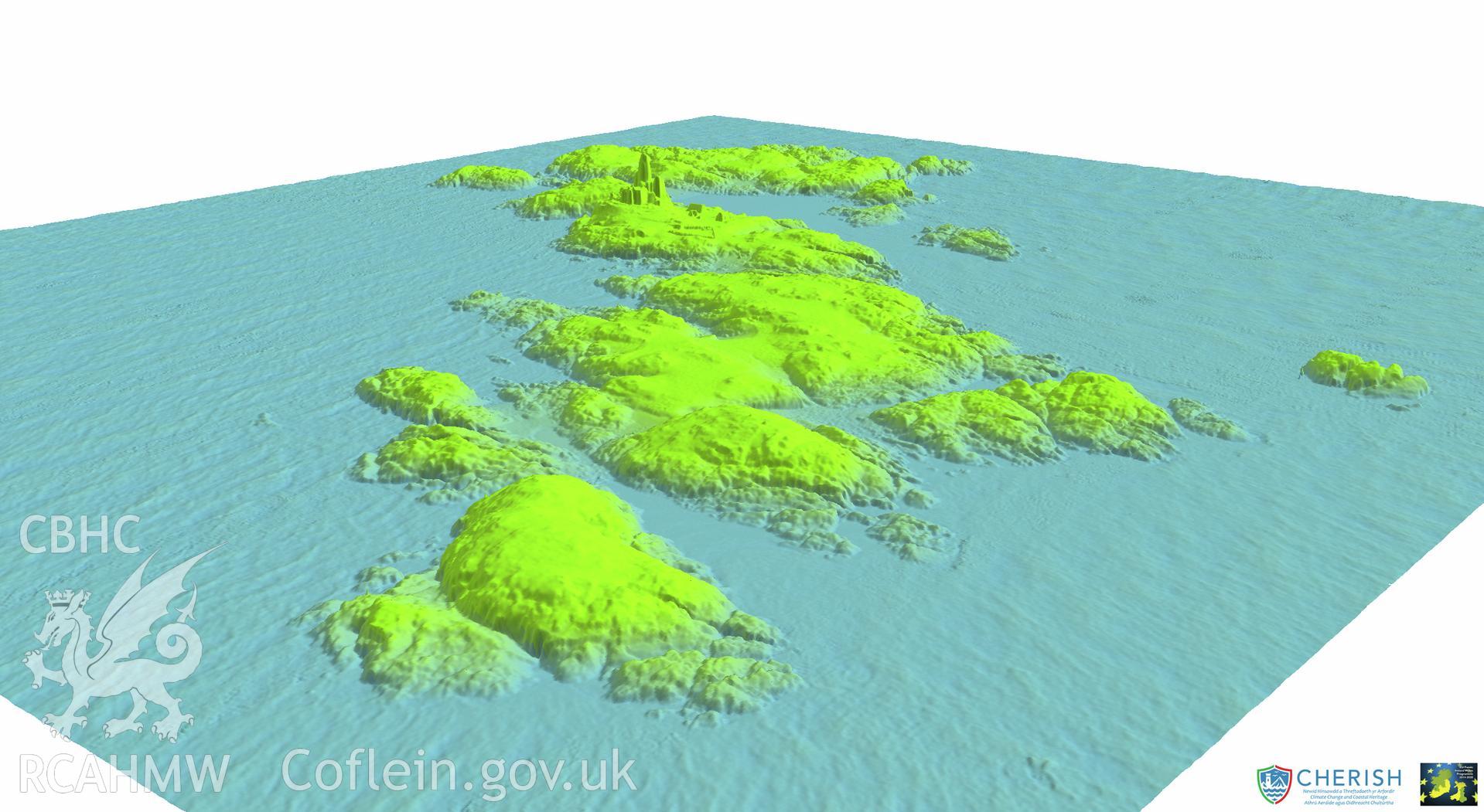
The Skerries Islet;Ynys y Moelrhoniaid
CHR - CHERISH Project Archive
CHR_04 - CHERISH Project Archive
CHR_04_04 - CHERISH Project Archive
CHR_04_04_01 - CHERISH Project Archive
CHR_04_04_01_01 - CHERISH Project Archive
Further Information
Details
Hierarchy
Related Sites
NPRN
Title
Type Of Site
Collections
Images
NPRN
506357
Title
The Skerries Islet;Ynys y Moelrhoniaid
Type Of Site
SEASCAPE
Collections
37
Images
35