Description
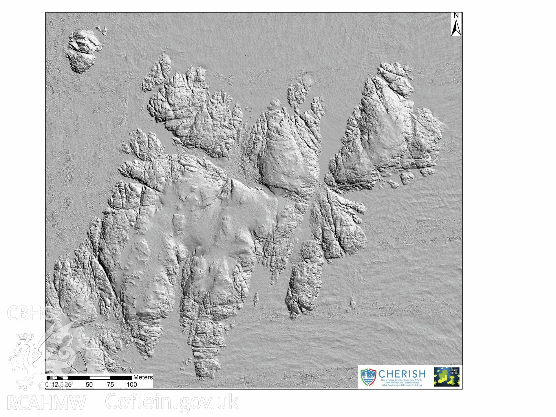
Ynysoedd y Moelrhoniaid (The Skerries Islet). Airborne laser scanning (LiDAR) commissioned by the CHERISH Project 2017-2021, flown by Bluesky International LTD at low tide on the 24th of February 2017. View showing the north area of Skerries Islet with the bridge over the chasm and the beacons. This LiDAR reading shows a digital surface model (DSM) with hill shading.