Cymraeg
Beta
Accessibility
Home
About
Search
Galleries
Map
Help
Contact
Archive Record
Results
Site Advanced Search
You have no advanced search rows. Add one by clicking the '+ Add Row' button
+ Add Row
Search
Reset
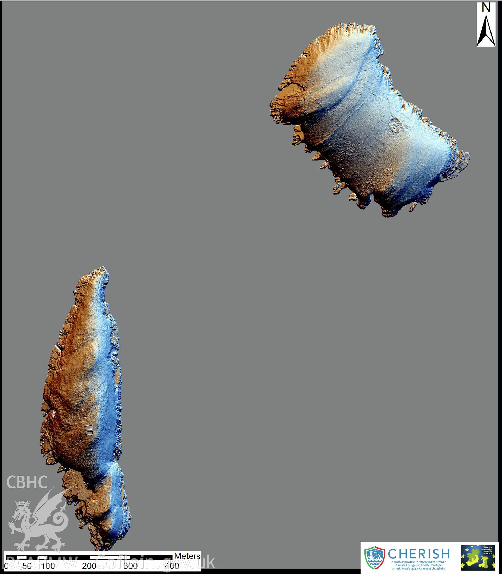
St Tudwal's Island East
CHR - CHERISH Project Archive
CHR_04 - CHERISH Project Archive
CHR_04_04 - CHERISH Project Archive
CHR_04_04_04 - CHERISH Project Archive
CHR_04_04_04_12 - CHERISH Project Archive
Further Information
Details
Hierarchy
Related Sites
NPRN
Title
Type Of Site
Collections
Images
NPRN
33027
Title
St Tudwal's Island East
Type Of Site
ISLAND
Collections
145
Images
54
NPRN
423236
Title
St Tudwal's Island West
Type Of Site
ISLAND
Collections
100
Images
23
NPRN
96665
Title
St Tudwal's Lighthouse
Type Of Site
LIGHTHOUSE
Collections
33
Images
24