Cymraeg
Beta
Accessibility
Home
About
Search
Galleries
Map
Help
Contact
Archive Record
Results
Site Advanced Search
You have no advanced search rows. Add one by clicking the '+ Add Row' button
+ Add Row
Search
Reset
Ramsey Island
CHR - CHERISH Project Archive
CHR_04 - CHERISH Project Archive
CHR_04_04 - CHERISH Project Archive
CHR_04_04_06 - CHERISH Project Archive
CHR_04_04_06_09 - CHERISH Project Archive
Further Information
Details
Hierarchy
Related Sites
NPRN
Title
Type Of Site
Collections
Images
NPRN
404188
Title
Ramsey Island
Type Of Site
ISLAND
Collections
143
Images
123
NPRN
400086
Title
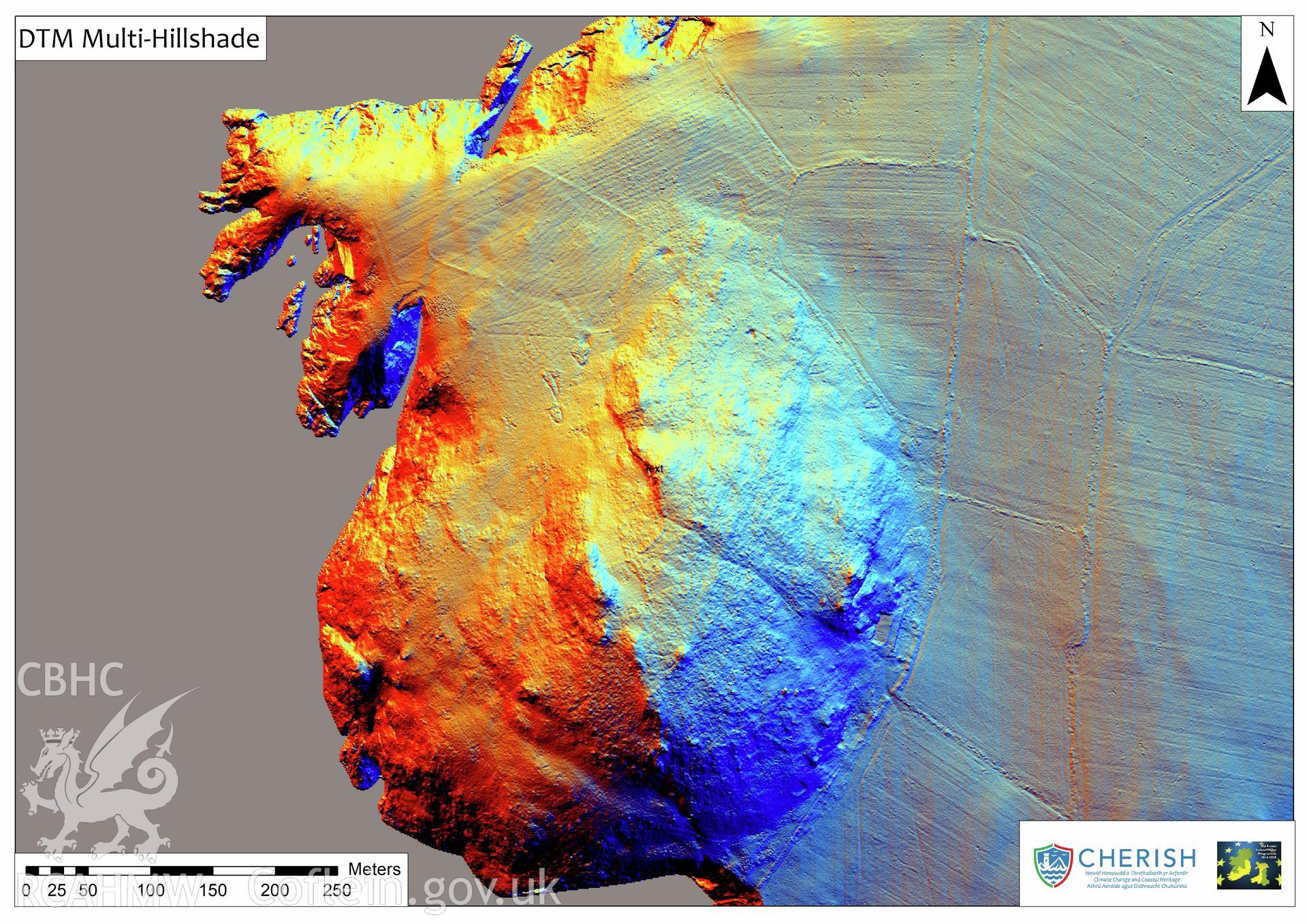
Carn Ysgubor, Relict Field Walls, Ramsey Island
Type Of Site
FIELD SYSTEM
Collections
13
Images
6