Cymraeg
Beta
Accessibility
Home
About
Search
Galleries
Map
Help
Contact
Archive Record
Results
Site Advanced Search
You have no advanced search rows. Add one by clicking the '+ Add Row' button
+ Add Row
Search
Reset
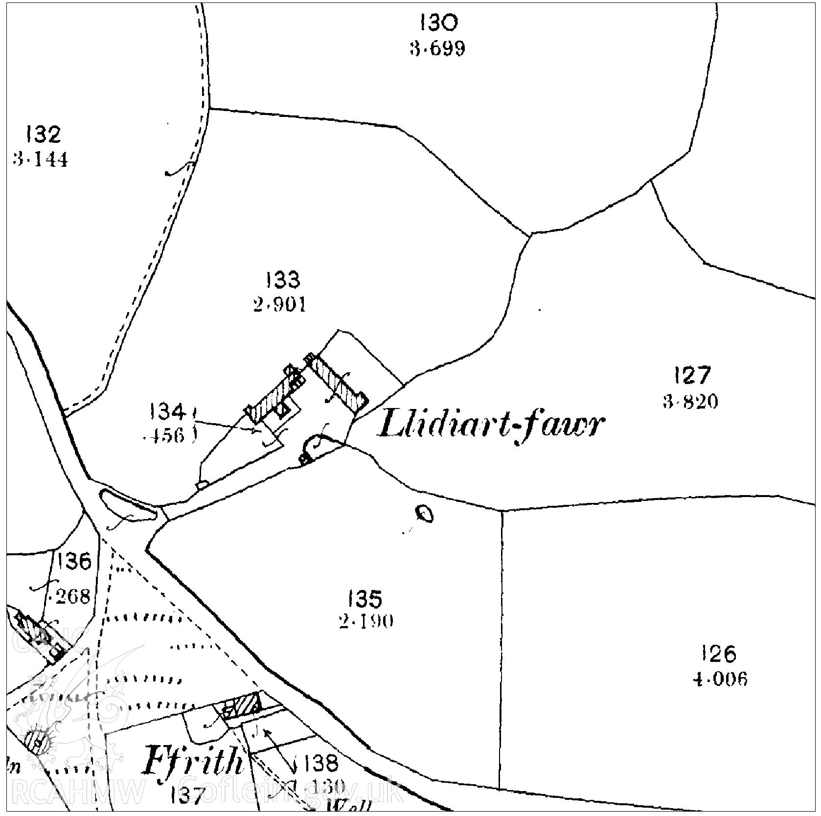
Llidiart-Fawr
CPATP - Clwyd-Powys Archaeological Trust Project Archives
CPATP_061 - Clwyd-Powys Archaeological Trust Project Archives
CPATP_061_04 - Clwyd-Powys Archaeological Trust Project Archives
CPATP_061_04_02 - Clwyd-Powys Archaeological Trust Project Archives
Further Information
Details
Hierarchy
Related Sites
Archive Number
6546261
Description
1899 map of area around Llidiart Fawr, Denbighshire. Used as report illustration for CPAT Project 2350: Llidiart Fawr, Pentrecelyn, Ruthin - Archaeological Building Survey, 2018. Report no. 1644.
Collection Record
CPATP - Clwyd-Powys Archaeological Trust Project Archives
Medium
Cartographic.
Originator
Clwyd-Powys Archaeological Trust
Date
2018