Cymraeg
Accessibility
Home
About
Search
Galleries
Map
Help
Contact / Order
Archive Record
Search Results
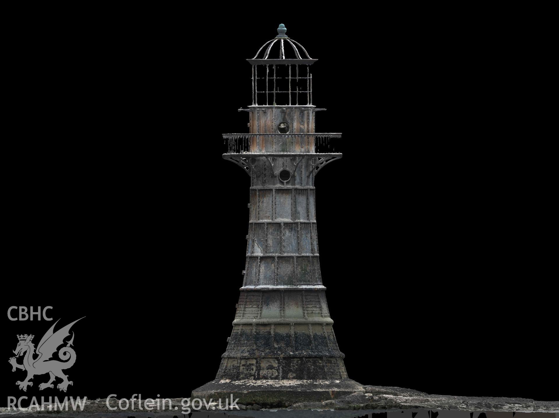
Whitford Point Lighthouse
UAV - Investigators' UAV Survey
UAV2022_005 - Investigators' UAV Survey
UAV2022_005_011 - Investigators' UAV Survey
Details
Hierarchy
Related Sites
Archive Number
2023-09-25_2511
Description
Whitford Point Lighthouse. Orthomosaic elevation (North) generated from UAV photogrammetry survey carried out on 17/08/2023. Distance from top of concrete plinth to bottom of lantern equals 14.73m.
Collection Name
UAV - Investigators' UAV Survey
Medium
1 tiff, 4.33 MB.
Originator
Dr Julian Whitewright
Date
2023-08-17
Download and purchase options
 Download and purchase options