Cymraeg
Beta
Accessibility
Home
About
Search
Galleries
Map
Help
Contact
Archive Record
Results
Site Advanced Search
You have no advanced search rows. Add one by clicking the '+ Add Row' button
+ Add Row
Search
Reset
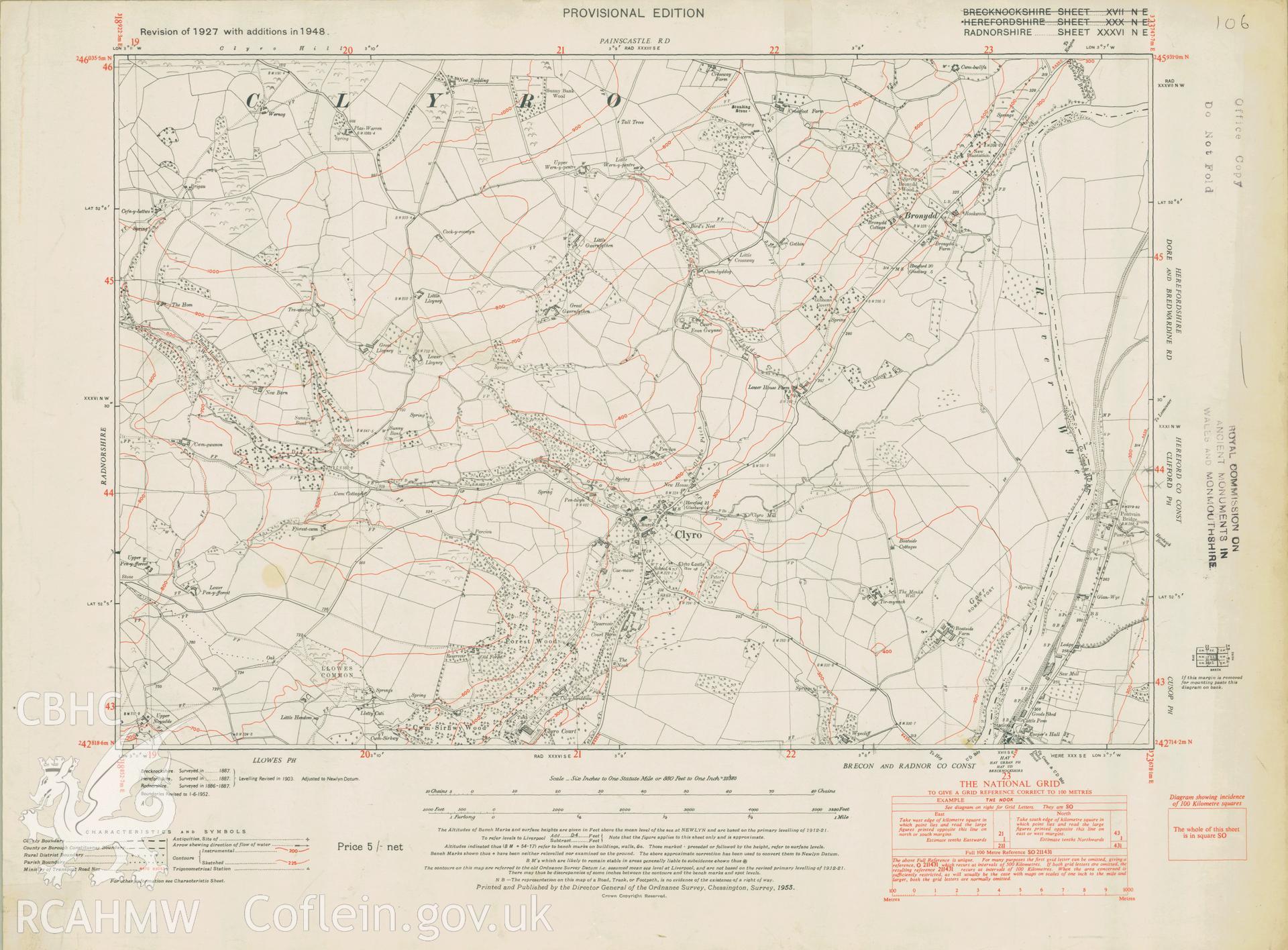
Clyro
Ordnance Survey Provisional Edition 6' County Series Maps
RA.XXXVI.NE - Ordnance Survey 2nd Edition 6' County Series Maps
Further Information
Details
Hierarchy
Related Sites
NPRN
Title
Type Of Site
Collections
Images
NPRN
33215
Title
Clyro
Type Of Site
TOWN
Collections
22
Images
10