Cymraeg
Beta
Accessibility
Home
About
Search
Galleries
Map
Help
Contact
Archive Record
Results
Site Advanced Search
You have no advanced search rows. Add one by clicking the '+ Add Row' button
+ Add Row
Search
Reset
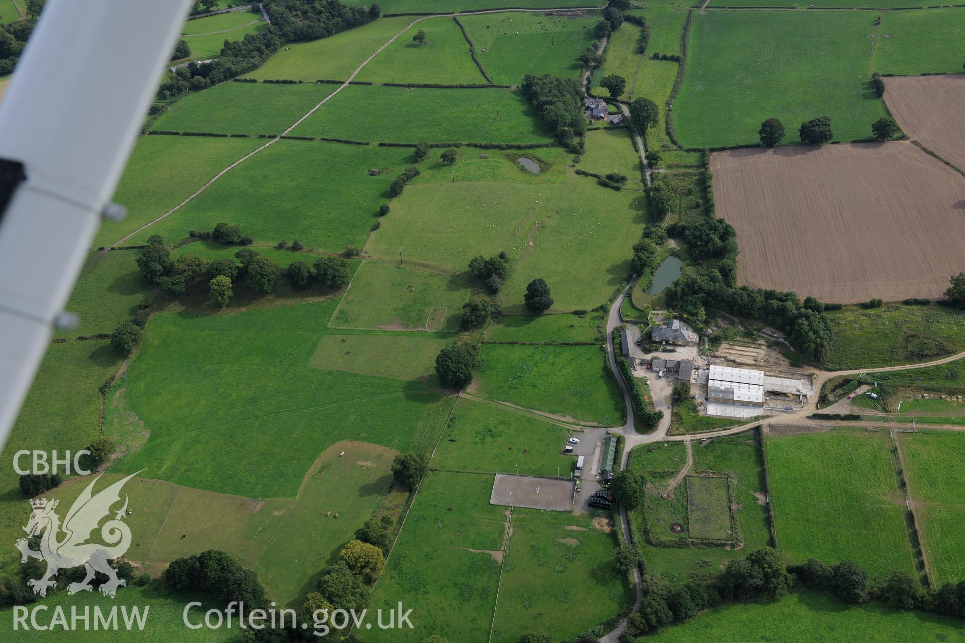
Wat's Dyke: Section From Chester-Holywell Road to Soughton Farm
AP - RCAHMW Colour Oblique Digital Aerial Photographs
AP2018_642 - RCAHMW Colour Oblique Digital Aerial Photographs
AP2018_642_001 - RCAHMW Colour Oblique Digital Aerial Photographs
Further Information
Details
Hierarchy
Related Sites
6202570
AP - RCAHMW Colour Oblique Digital Aerial Photographs -
Collection
6515336
AP2018_642 - RCAHMW Colour Oblique Digital Aerial Photographs -
Batch
6515337
AP2018_642_001 - RCAHMW Colour Oblique Digital Aerial Photographs -
Item