Cymraeg
Beta
Accessibility
Home
About
Search
Galleries
Map
Help
Contact
Archive Record
Results
Site Advanced Search
You have no advanced search rows. Add one by clicking the '+ Add Row' button
+ Add Row
Search
Reset
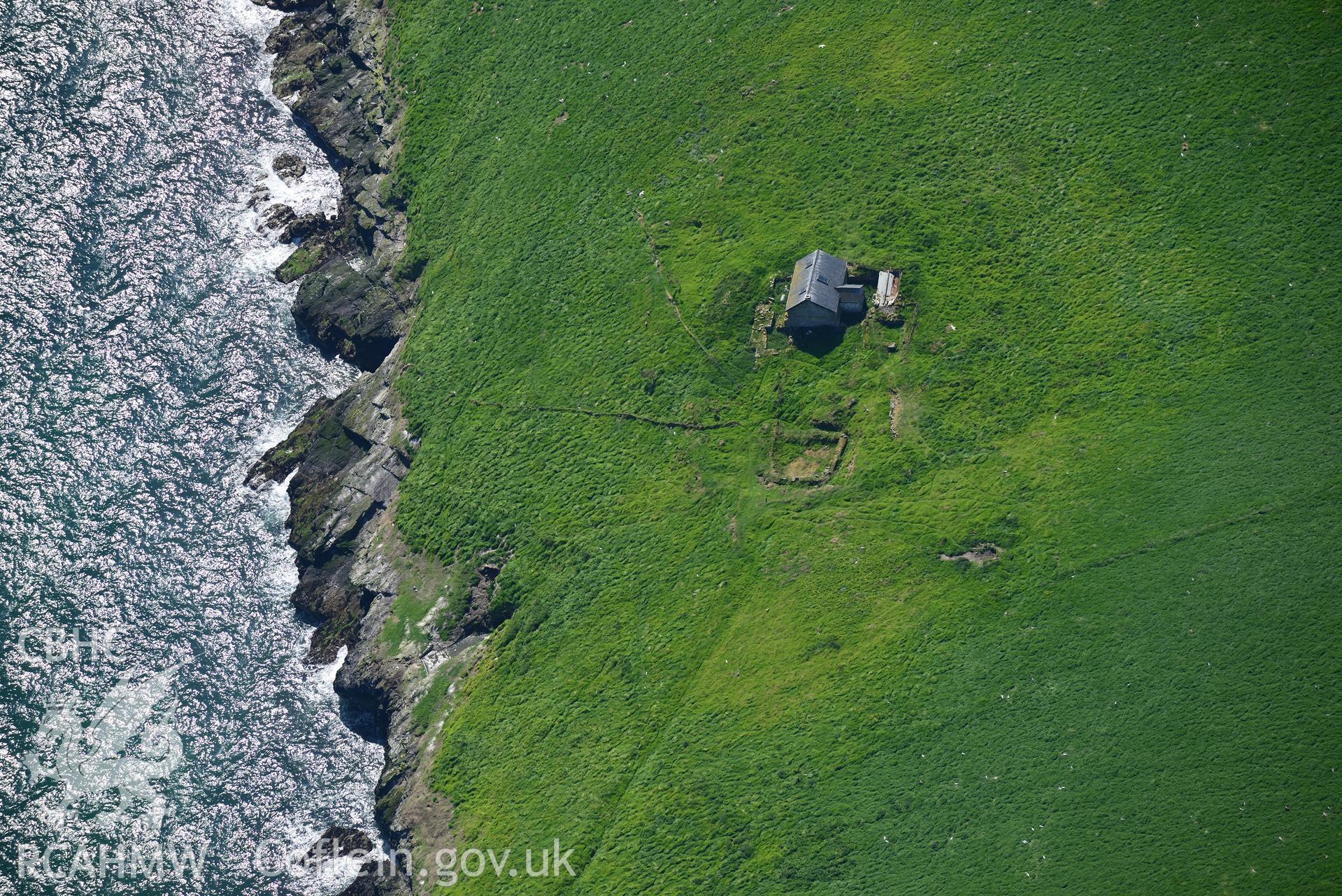
St Tudwal's Island East, Monastic Garden
CHR - CHERISH Project Archive
CH2019_157 - CHERISH Project Archive
CH2019_157_006 - CHERISH Project Archive
Further Information
Details
Hierarchy
Related Sites
NPRN
Title
Type Of Site
Collections
Images
NPRN
401812
Title
St Tudwal's Island East, Monastic Garden
Type Of Site
GARDEN
Collections
7
Images
6
NPRN
33027
Title
St Tudwal's Island East
Type Of Site
ISLAND
Collections
145
Images
54
NPRN
401811
Title
St Tudwal's Island (East), Priory and Later Monastery
Type Of Site
PRIORY
Collections
312
Images
6
NPRN
26745
Title
St Tudwal's Island (East), Priory, Footings of Hall
Type Of Site
BANQUETING HOUSE
Collections
95
Images
13
NPRN
97198
Title
Chapel Building, St Tudwal's Island (East)
Type Of Site
CHAPEL
Collections
76
Images
15