Cymraeg
Beta
Accessibility
Home
About
Search
Galleries
Map
Help
Contact
Archive Record
Results
Site Advanced Search
You have no advanced search rows. Add one by clicking the '+ Add Row' button
+ Add Row
Search
Reset
Non Site Indexed Record
25' Second Edition O.S. Master Maps
25' Second Edition O.S. Master Maps
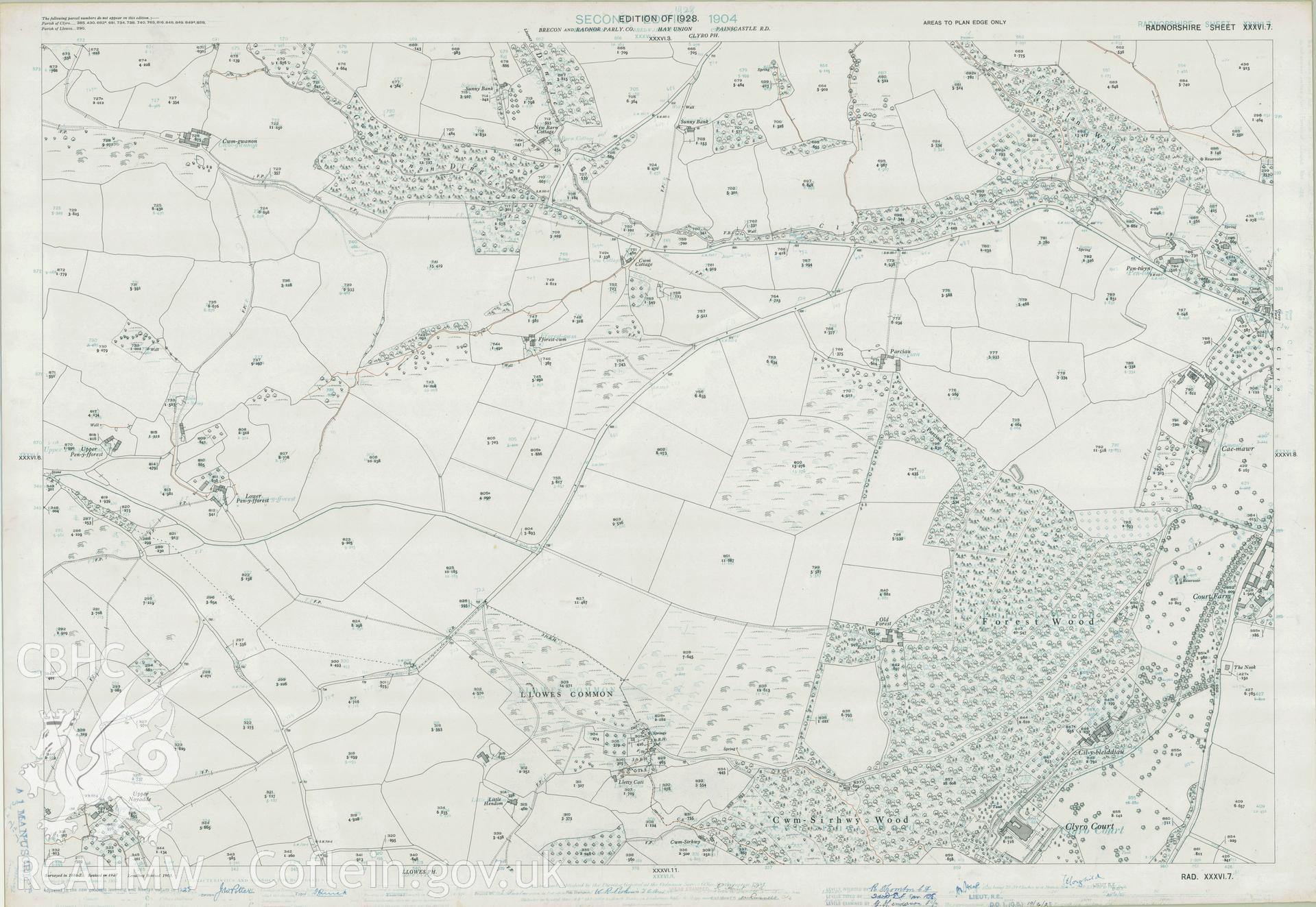
RA.XXXVI.7 - 25' Second Edition O.S. Master Maps
Further Information
Details
Hierarchy
Related Sites
NPRN
Title
Type Of Site
Collections
Images
NPRN
99999
Title
Non Site Indexed Record
Type Of Site
Collections
2904
Images
1511