Cymraeg
Beta
Accessibility
Home
About
Search
Galleries
Map
Help
Contact
Archive Record
Results
Site Advanced Search
You have no advanced search rows. Add one by clicking the '+ Add Row' button
+ Add Row
Search
Reset
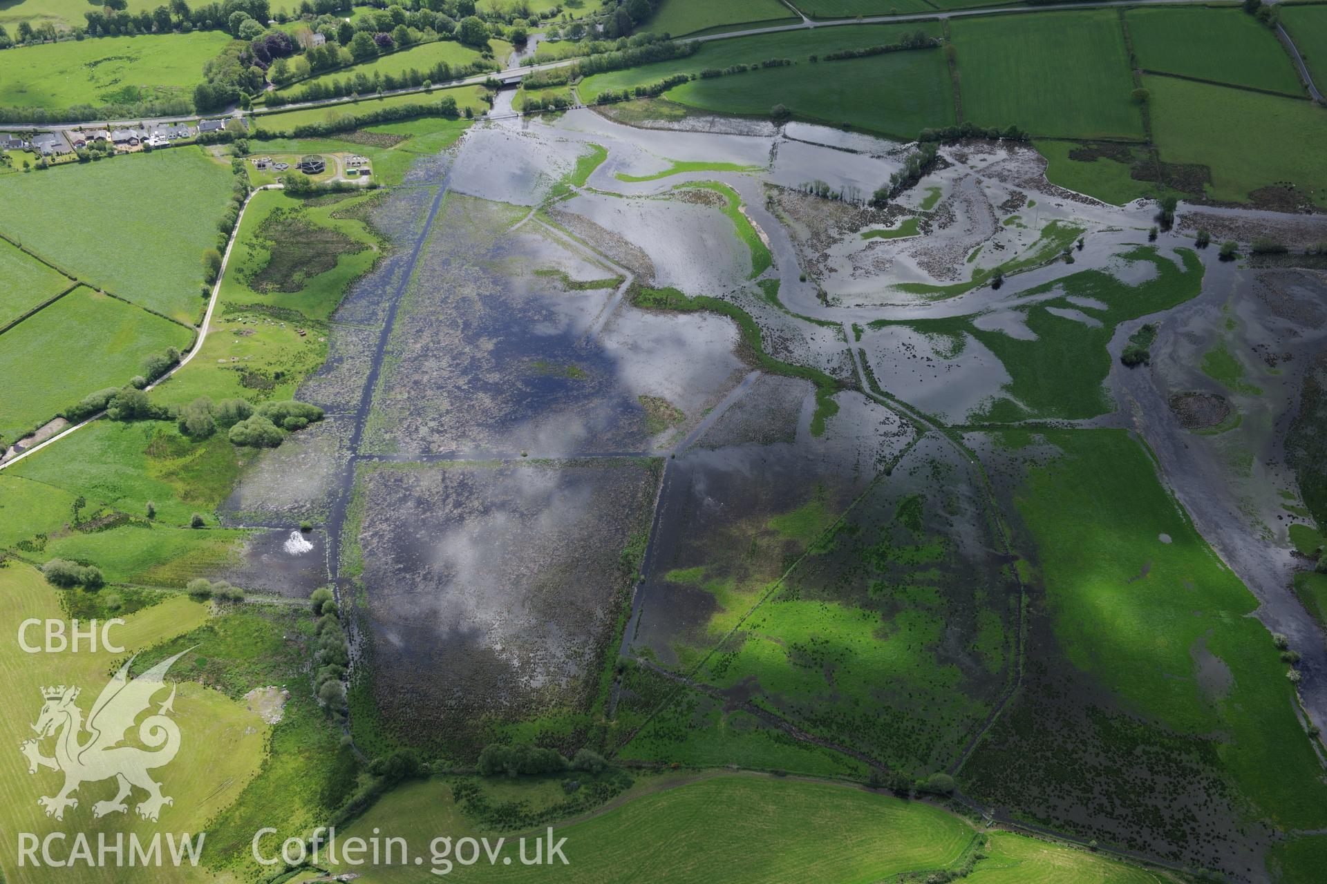
Pont Trecefel
AP - RCAHMW Colour Oblique Digital Aerial Photographs
AP2018_071 - RCAHMW Colour Oblique Digital Aerial Photographs
AP2018_071_008 - RCAHMW Colour Oblique Digital Aerial Photographs
Further Information
Details
Hierarchy
Related Sites
NPRN
Title
Type Of Site
Collections
Images
NPRN
23926
Title
Pont Trecefel
Type Of Site
BRIDGE
Collections
2
Images
1
NPRN
33053
Title
Tregaron
Type Of Site
TOWN
Collections
102
Images
54