Cymraeg
Beta
Accessibility
Home
About
Search
Galleries
Map
Help
Contact
Archive Record
Results
Site Advanced Search
You have no advanced search rows. Add one by clicking the '+ Add Row' button
+ Add Row
Search
Reset
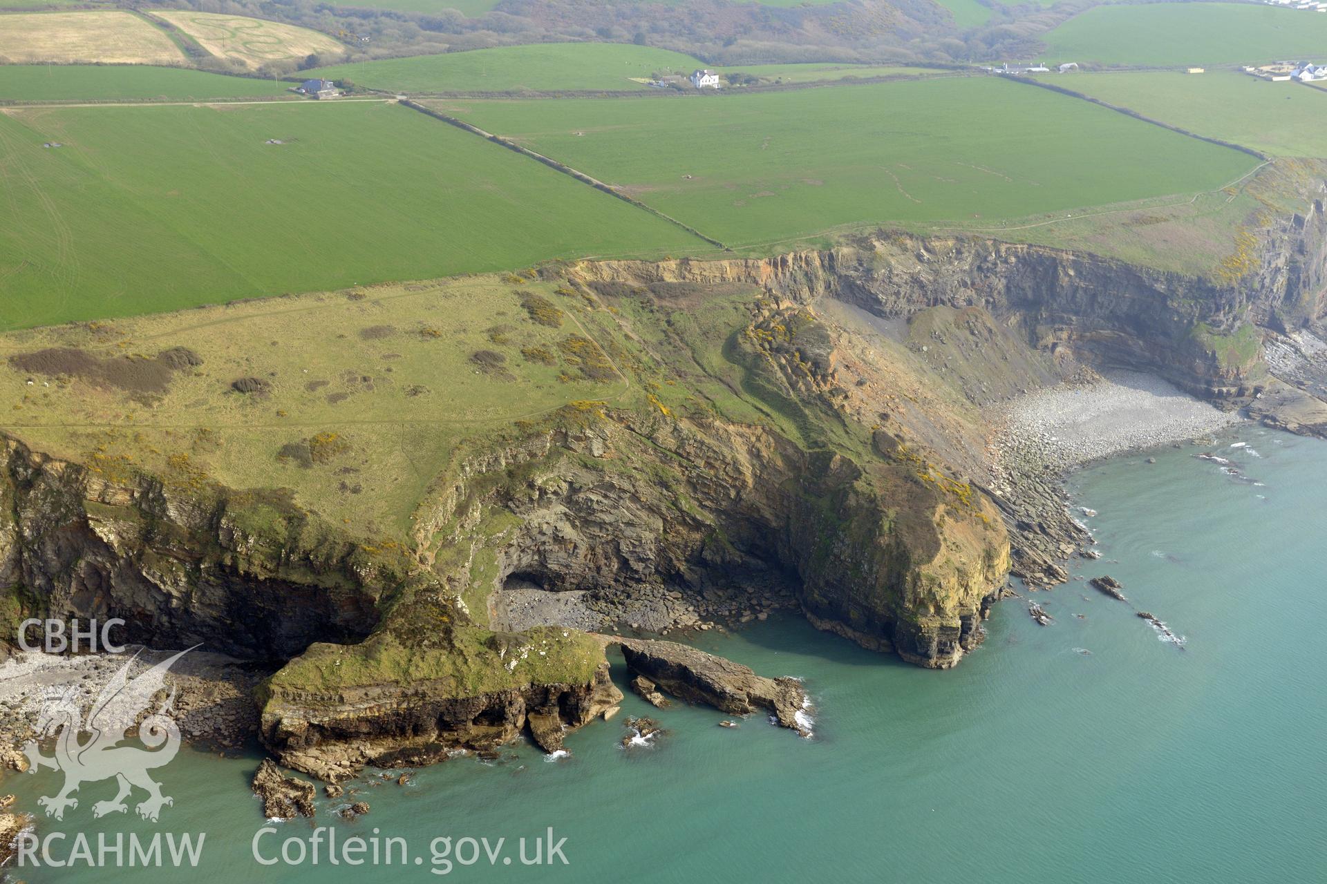
Black Point Rath
CHR - CHERISH Project Archive
CH2019_038 - CHERISH Project Archive
CH2019_038_001 - CHERISH Project Archive
Further Information
Details
Hierarchy
Related Sites
NPRN
Title
Type Of Site
Collections
Images
NPRN
305331
Title
Black Point Rath
Type Of Site
PROMONTORY FORT
Collections
57
Images
39