Cymraeg
Beta
Accessibility
Home
About
Search
Galleries
Map
Help
Contact
Archive Record
Results
Site Advanced Search
You have no advanced search rows. Add one by clicking the '+ Add Row' button
+ Add Row
Search
Reset
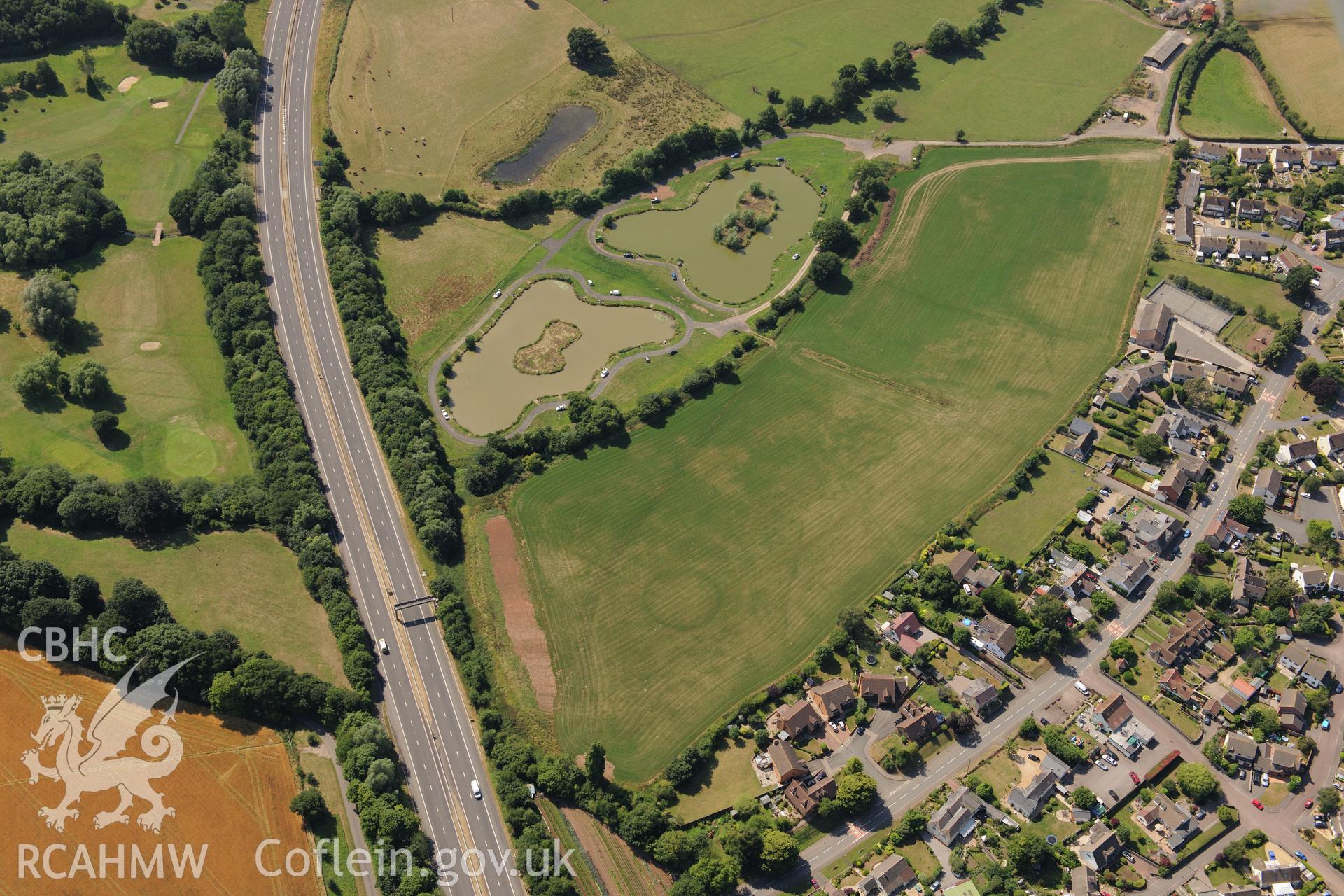
Round Barrow Cropmarks at Newton Green
AP - RCAHMW Colour Oblique Digital Aerial Photographs
AP2019_521 - RCAHMW Colour Oblique Digital Aerial Photographs
AP2019_521_004 - RCAHMW Colour Oblique Digital Aerial Photographs
Further Information
Details
Hierarchy
Related Sites
NPRN
Title
Type Of Site
Collections
Images
NPRN
414837
Title
Round Barrow Cropmarks at Newton Green
Type Of Site
ROUND BARROW
Collections
10
Images
9
NPRN
410751
Title
Mathern and Newton Green Villages
Type Of Site
VILLAGE
Collections
17
Images
10