Cymraeg
Beta
Accessibility
Home
About
Search
Galleries
Map
Help
Contact
Archive Record
Results
Site Advanced Search
You have no advanced search rows. Add one by clicking the '+ Add Row' button
+ Add Row
Search
Reset
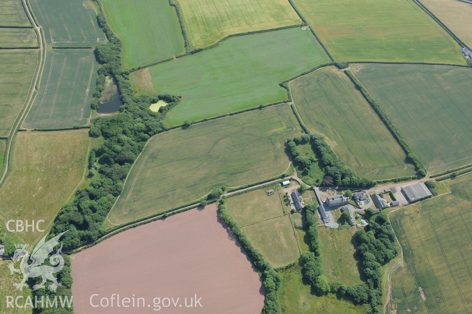
Butterhill Farm;Sandyhaven Estate, St Ishmael's
AP - RCAHMW Colour Oblique Digital Aerial Photographs
AP2020_0007 - RCAHMW Colour Oblique Digital Aerial Photographs
AP2020_0007_0004 - RCAHMW Colour Oblique Digital Aerial Photographs
Further Information
Details
Hierarchy
Related Sites
NPRN
Title
Type Of Site
Collections
Images
NPRN
21693
Title
Butterhill Farm;Sandyhaven Estate, St Ishmael's
Type Of Site
HOUSE
Collections
44
Images
7
NPRN
414088
Title
Cropmarks East and South of of Butterhill Farm
Type Of Site
DEFENDED ENCLOSURE
Collections
15
Images
13