Cymraeg
Beta
Accessibility
Home
About
Search
Galleries
Map
Help
Contact
Archive Record
Results
Site Advanced Search
You have no advanced search rows. Add one by clicking the '+ Add Row' button
+ Add Row
Search
Reset
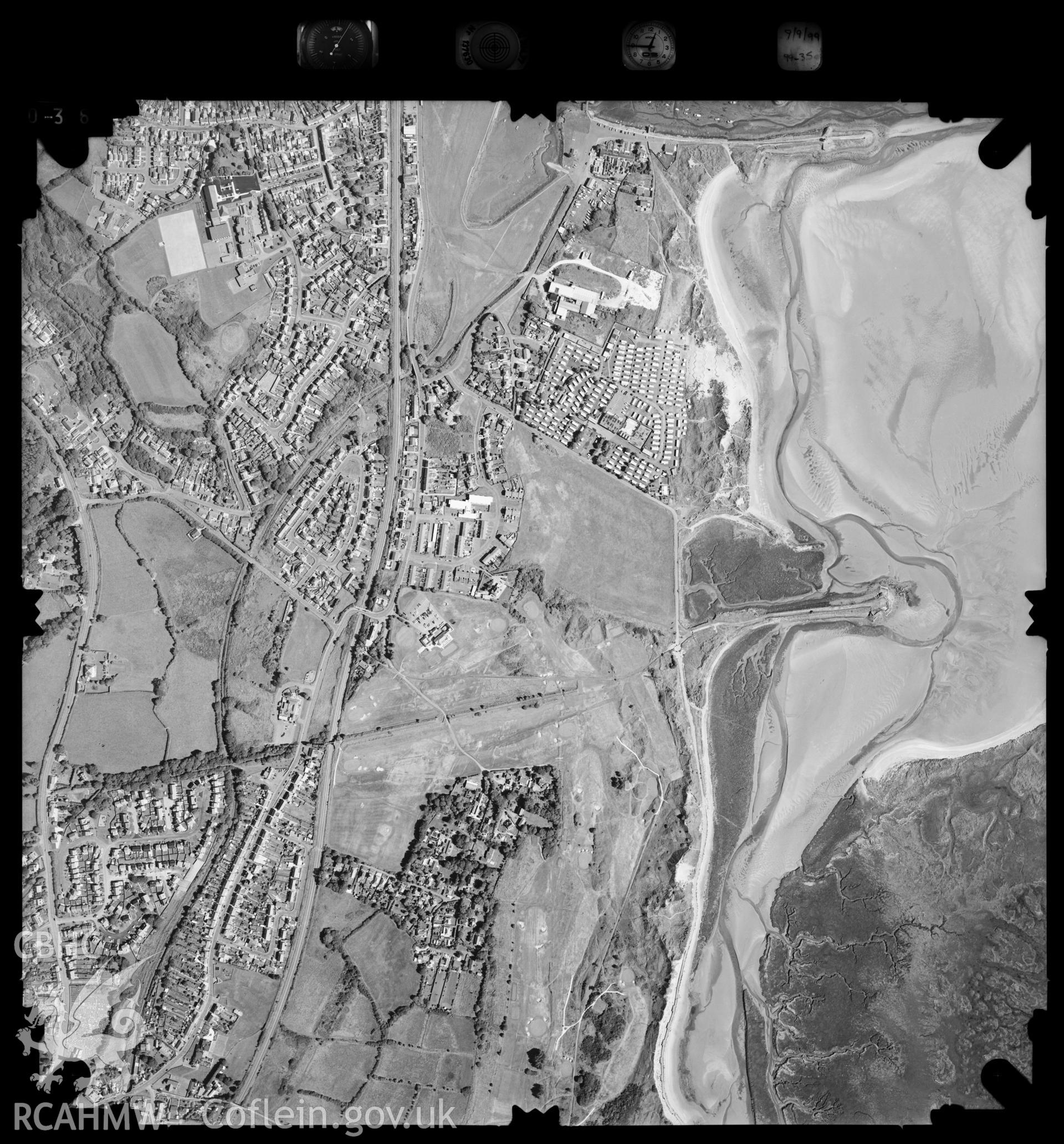
Burry Port
Ordnance Survey Vertical Aerial Photography Collection
99_350_036 - Ordnance Survey Aerial Photography Collection
Further Information
Details
Hierarchy
Related Sites
NPRN
Title
Type Of Site
Collections
Images
NPRN
421
Title
Burry Port
Type Of Site
TOWN
Collections
41
Images
22