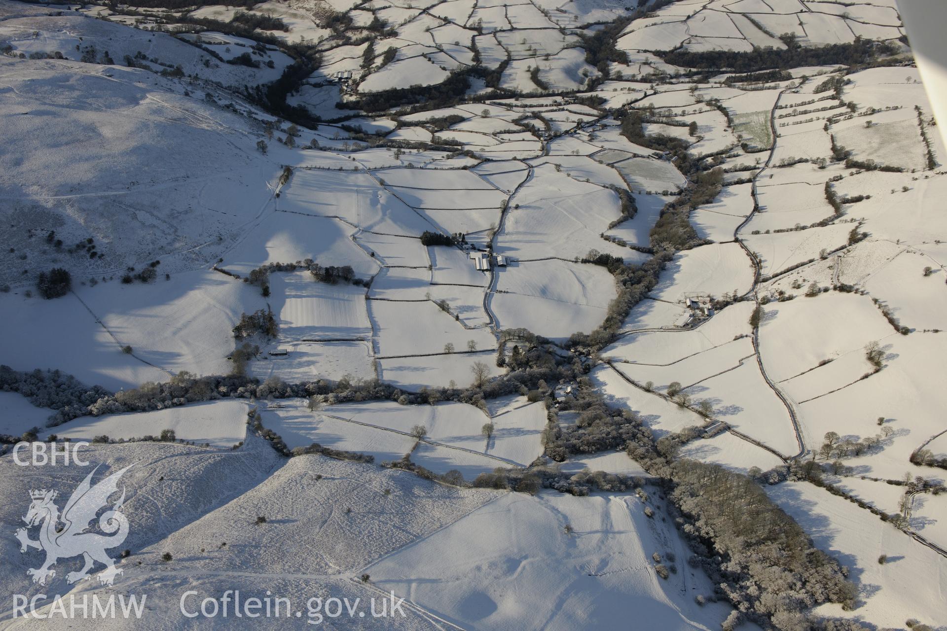
St. David's church, hidden by trees, in the centre of the photograph. The farm on the left is called Pant, and the farm on the right is known as Llan-Owen Farm. Oblique aerial photograph taken during the Royal Commission?s programme of archaeological aerial reconnaissance by Toby Driver on 15th January 2013.
Collection Name
AP - RCAHMW Colour Oblique Digital Aerial Photographs
 Download and purchase options