Cymraeg
Beta
Accessibility
Home
About
Search
Galleries
Map
Help
Contact
Archive Record
Results
Site Advanced Search
You have no advanced search rows. Add one by clicking the '+ Add Row' button
+ Add Row
Search
Reset
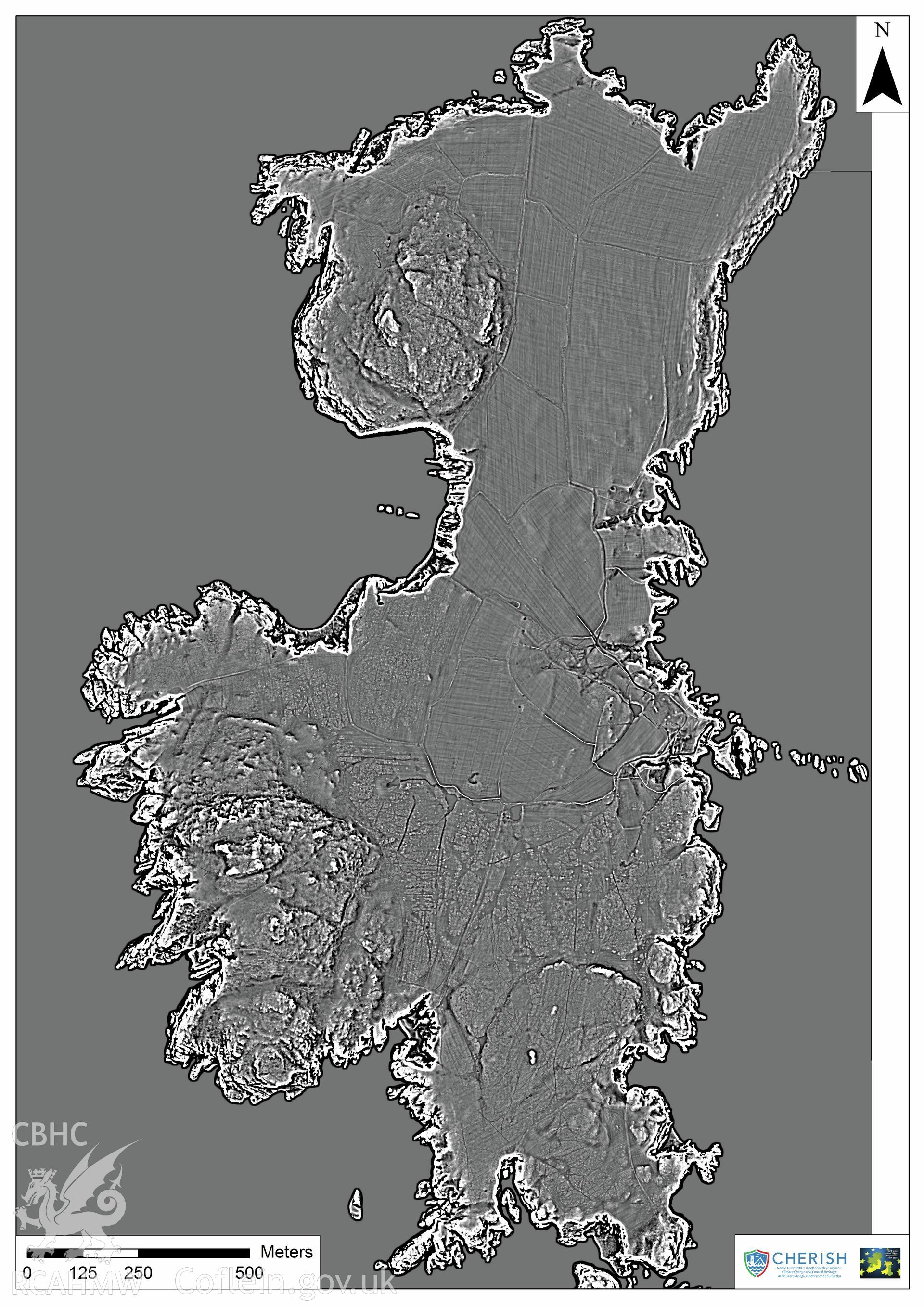
Ramsey Island
CHR - CHERISH Project Archive
CHR_04 - CHERISH Project Archive
CHR_04_04 - CHERISH Project Archive
CHR_04_04_06 - CHERISH Project Archive
CHR_04_04_06_10 - CHERISH Project Archive
Further Information
Details
Hierarchy
Related Sites
6489932
CHR - CHERISH Project Archive -
Collection
6540709
CHR_04 - CHERISH Project Archive -
Group
6540674
CHR_04_04 - CHERISH Project Archive -
Sub-group
6540824
CHR_04_04_06 - CHERISH Project Archive -
Batch
6540805
CHR_04_04_06_10 - CHERISH Project Archive -
Item