English
Hygyrchedd
Hafan
Amdanom
Chwilio
Orielau
Map
Cymorth
Cysylltwch / Trefn
Cofnod Archif
Canlyniadau Chwilio
Landimor Castle;Bovehill Castle
Ordnance Survey Vertical Aerial Photography Collection
78_085_117 - Ordnance Survey Aerial Photography Collection
Manylion
Hierarchaeth
Safleoedd Cysylltiedig
Rhif Archif
6381140
Disgrifiad
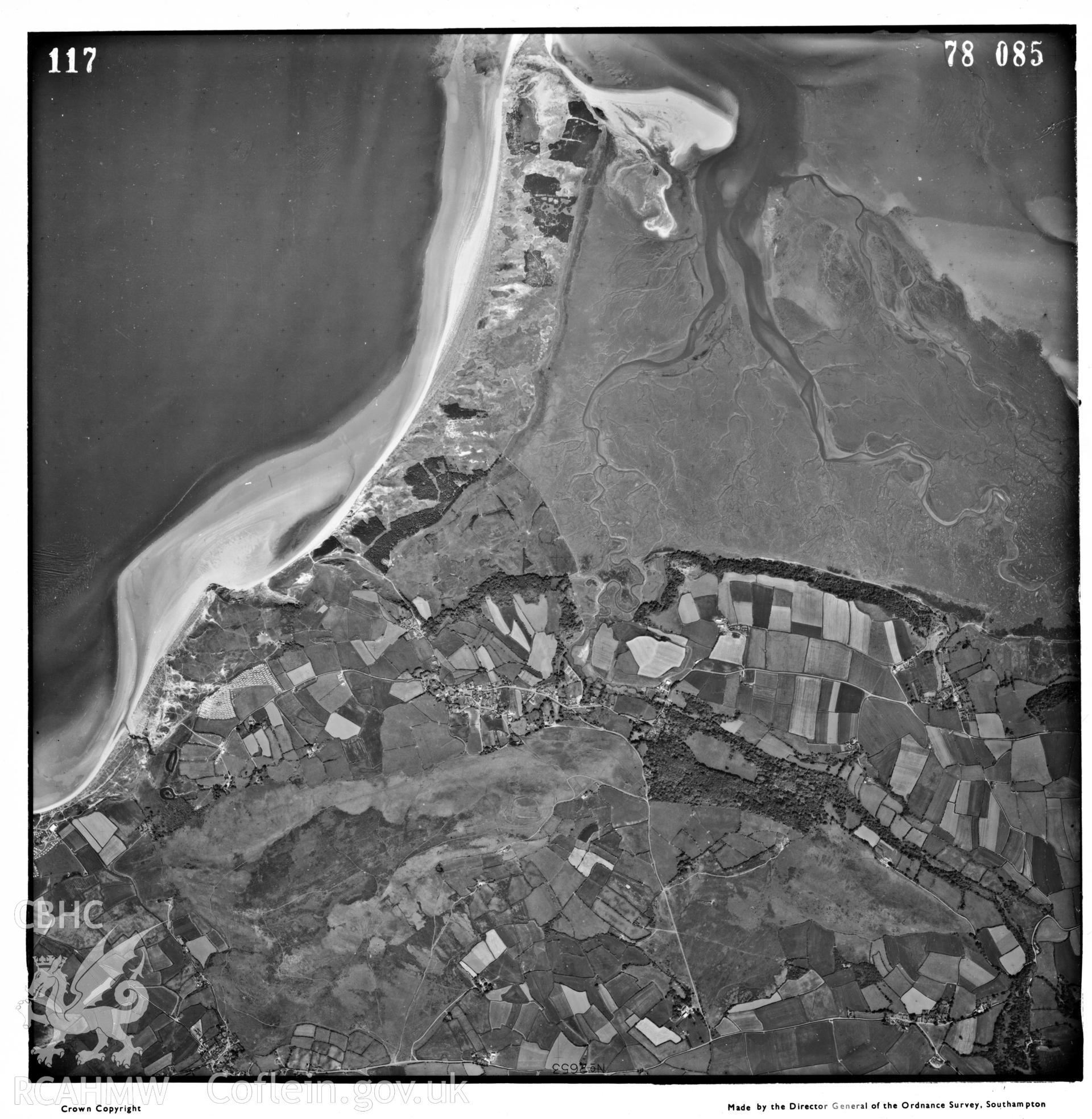
Digitized copy of an aerial photograph showing the Landimore area, taken by Ordnance Survey, 1978.
Enw Casgliad
Ordnance Survey Vertical Aerial Photography Collection
Cyfrwng
Photo.
Cychwynnwr
Ordnance Survey
Dyddiad
1978
Opsiynau lawrlwytho a prynu
 Opsiynau lawrlwytho a prynu