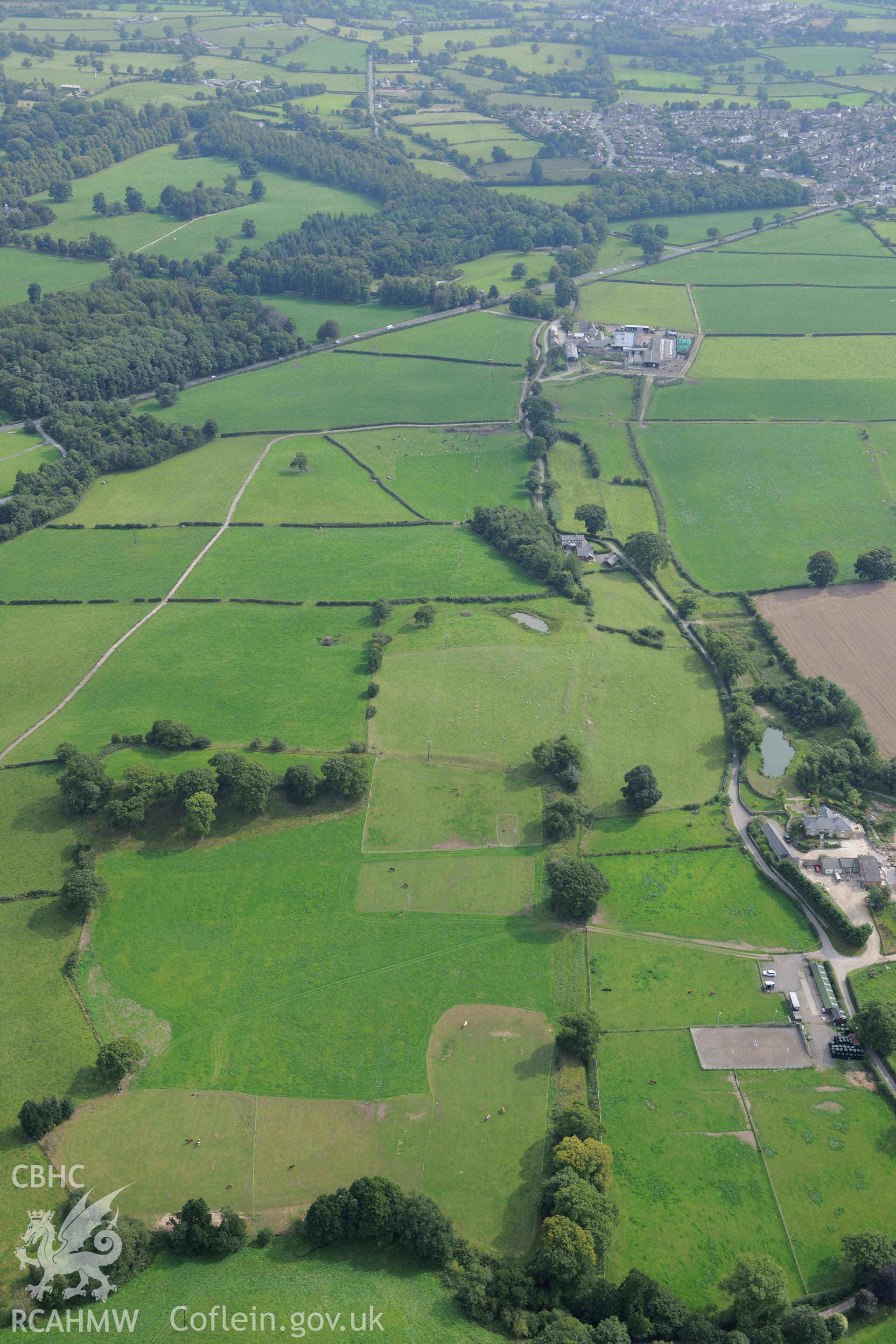
Part of the section of Wat's Dyke running from Chester-Holywell Road to Soughton Farm. Oblique aerial photograph taken during the Royal Commission's programme of archaeological aerial reconnaissance by Toby Driver on 11th September 2015.
Enw Casgliad
AP - RCAHMW Colour Oblique Digital Aerial Photographs
 Opsiynau lawrlwytho a prynu