English
Beta
Hygyrchedd
Hafan
Amdanom
Chwilio
Orielau
Map
Cymorth
Cysylltwch
Cofnod Archif
Canlyniadau
Safle Chwilio Uwch
Nid oes gennych resi chwilio datblygedig. Ychwanegwch un trwy glicio ar y botwm '+ Ychwanegu Rhes'
+ Ychwanegu Rhes
Chwilio
Ail Gychwyn
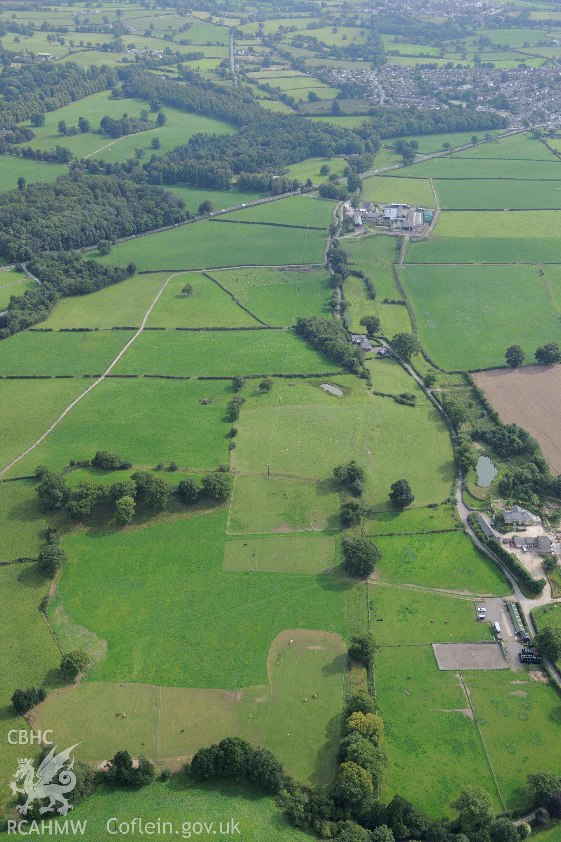
Wat's Dyke: Section From Chester-Holywell Road to Soughton Farm
AP - RCAHMW Colour Oblique Digital Aerial Photographs
AP2018_642 - RCAHMW Colour Oblique Digital Aerial Photographs
AP2018_642_003 - RCAHMW Colour Oblique Digital Aerial Photographs
Further Information
Manylion
Hierarchaeth
Safleoedd Cysylltiedig
NPRN
Teitl
Math O Safle
Casgliadau
Delweddau
NPRN
275831
Teitl
Wat's Dyke: Section From Chester-Holywell Road to Soughton Farm
Math O Safle
CLAWDD
Casgliadau
19
Delweddau
5