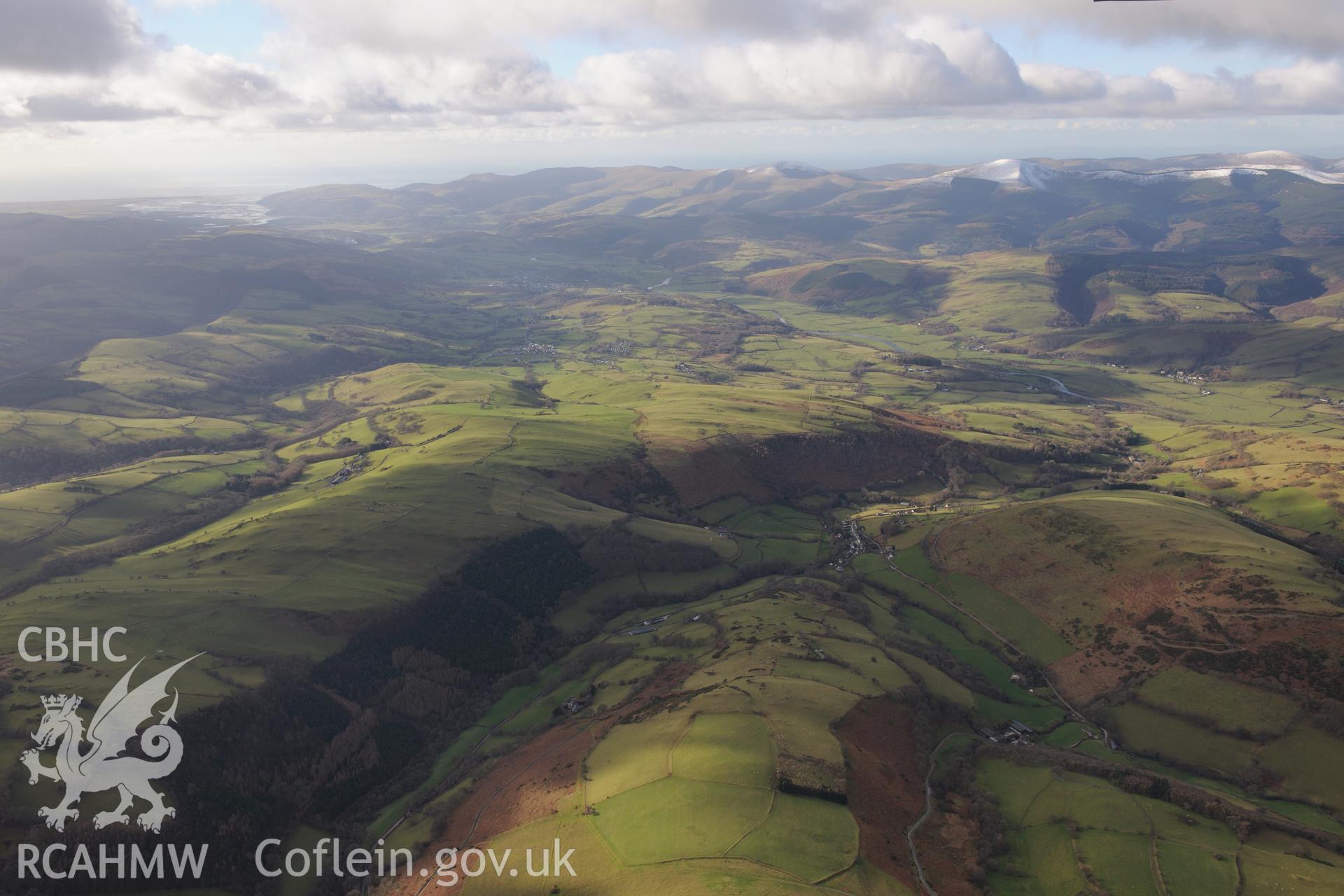
Nant y Gaseg farm, the village of Abercegir and the Dyfi valley beyond, with Machynlleth and the Dyfi estuary in the far distance. Oblique aerial photograph taken during the Royal Commission's programme of archaeological aerial reconnaissance by Toby Driver on 18th December 2018.
Enw Casgliad
AP - RCAHMW Colour Oblique Digital Aerial Photographs
 Opsiynau lawrlwytho a prynu