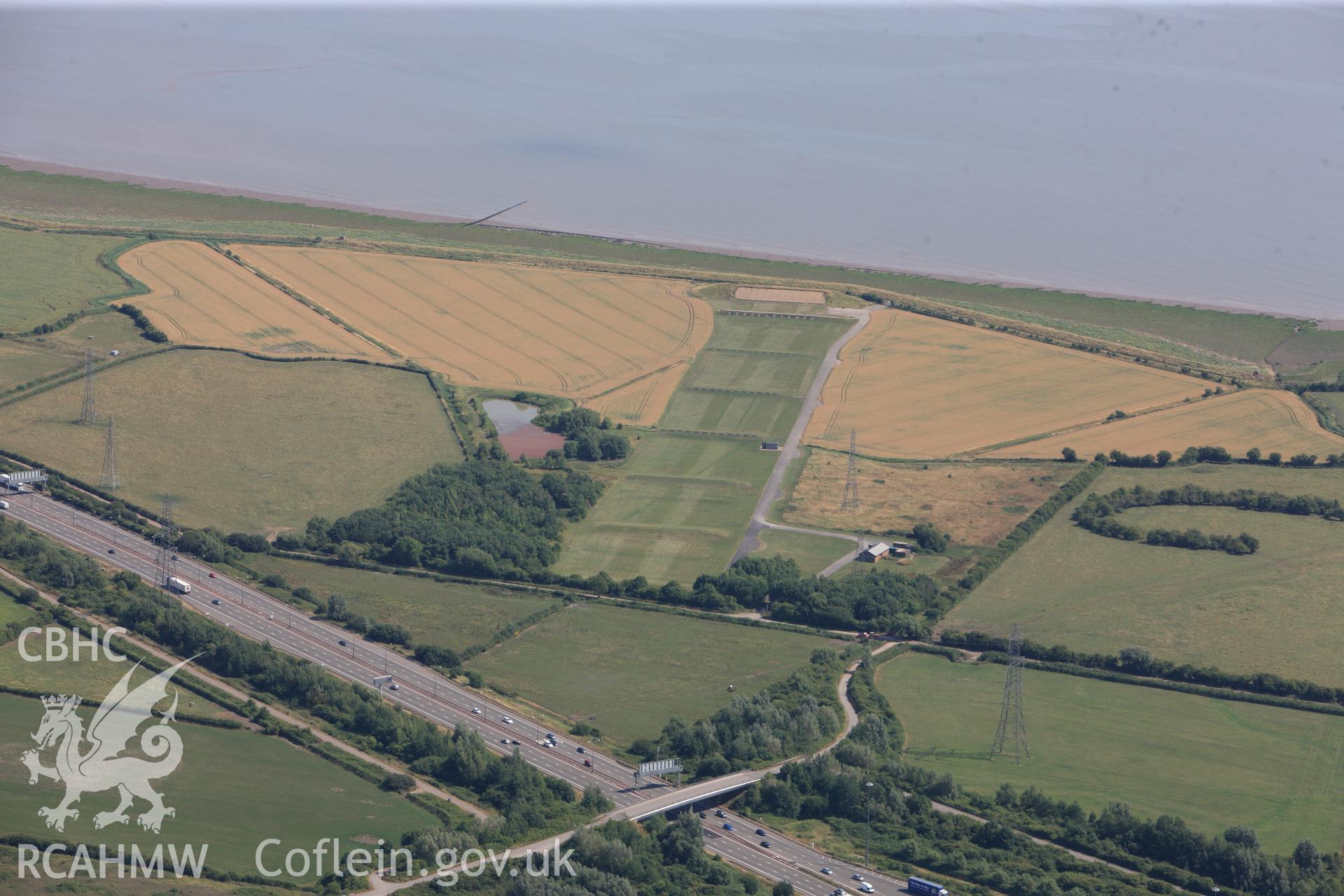
Rogiet Rifle range & section of the M4 motorway running along southern edge of Caldicot, on its way to the Second Severn Crossing. Oblique aerial photograph taken during RCAHMW?s programme of archaeological aerial reconnaissance by Toby Driver, 1 Aug 2013.
Enw Casgliad
AP - RCAHMW Colour Oblique Digital Aerial Photographs
 Opsiynau lawrlwytho a prynu