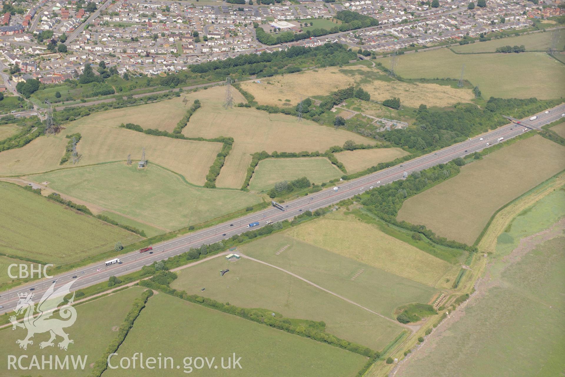
Caldicot level ridge & furrow, rifle range & M4 motorway section passing southern edge of Caldicot on way to 2nd Severn Crossing. Oblique aerial photograph taken during RCAHMW?s programme of archaeological aerial reconnaissance by Toby Driver 01/08/2013.
Enw Casgliad
AP - RCAHMW Colour Oblique Digital Aerial Photographs
 Opsiynau lawrlwytho a prynu