Disgrifiad
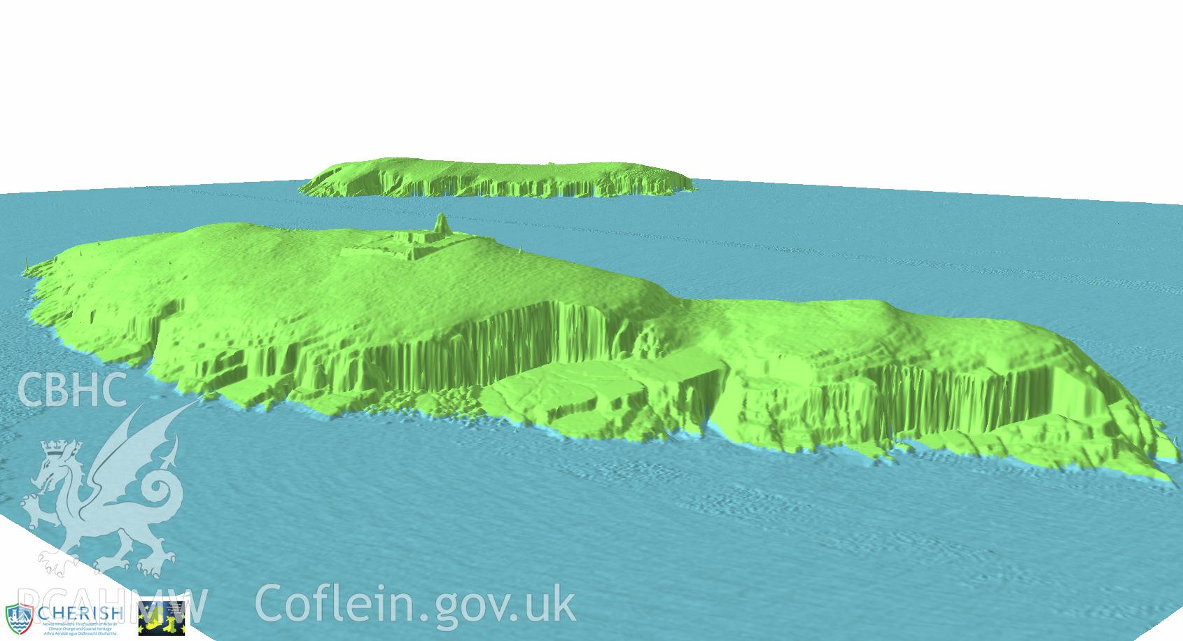
Ynysoedd Tudwal (St. Tudwal?s Islands). Airborne laser scanning (LiDAR) commissioned by the CHERISH Project 2017-2021, flown by Bluesky International LTD at low tide on 24th February 2017. View showing both islands from the west island looking out towards the east.