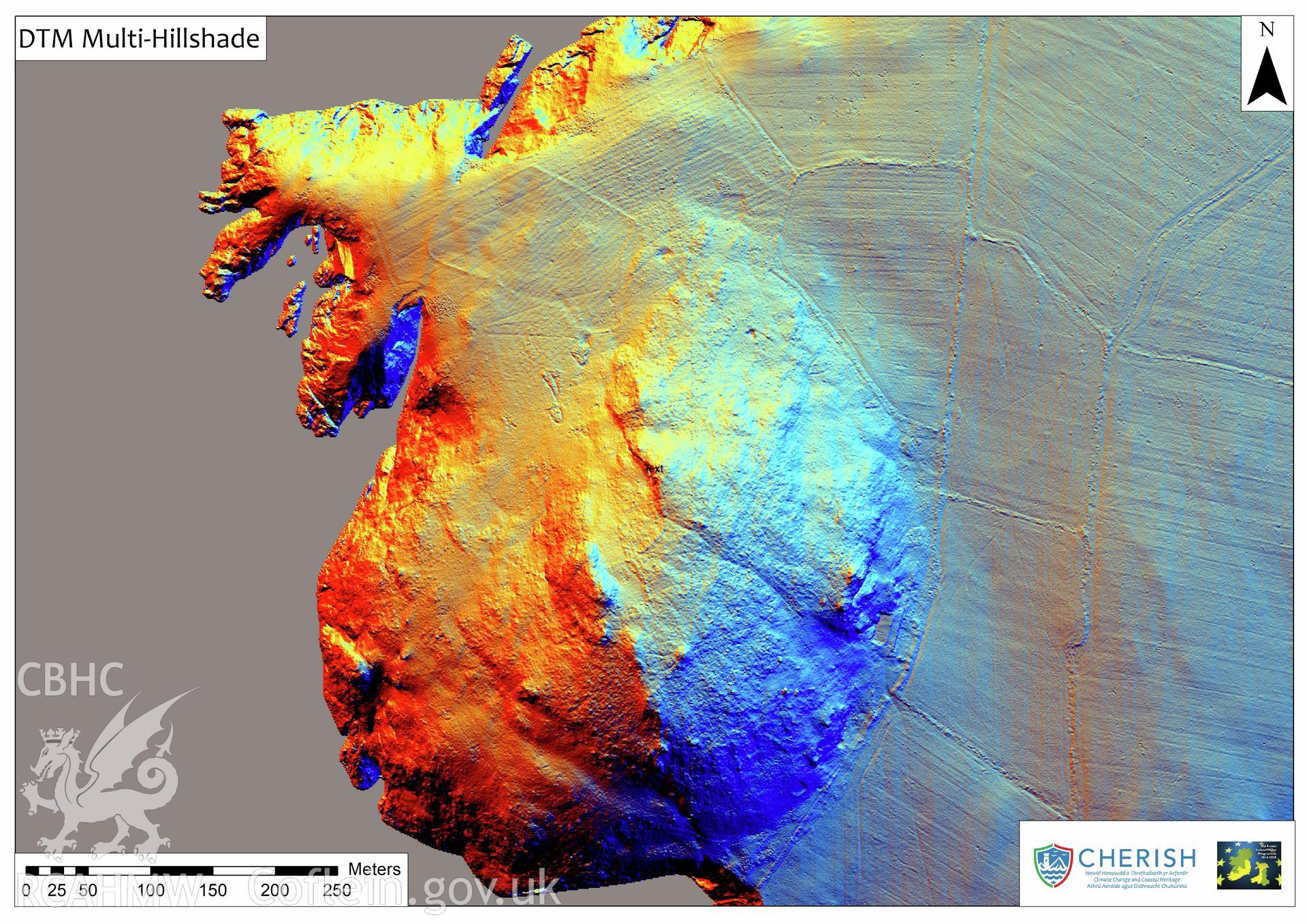
Ramsey Island. Airborne laser scanning (LiDAR) commissioned by the CHERISH Project 2017-2021, flown by Bluesky International LTD at low tide on 24th February 2017. View showing Digital Terrain Model (DTM) of Carn Ysgubor field systems with multi-hill shading.
 Opsiynau lawrlwytho a prynu