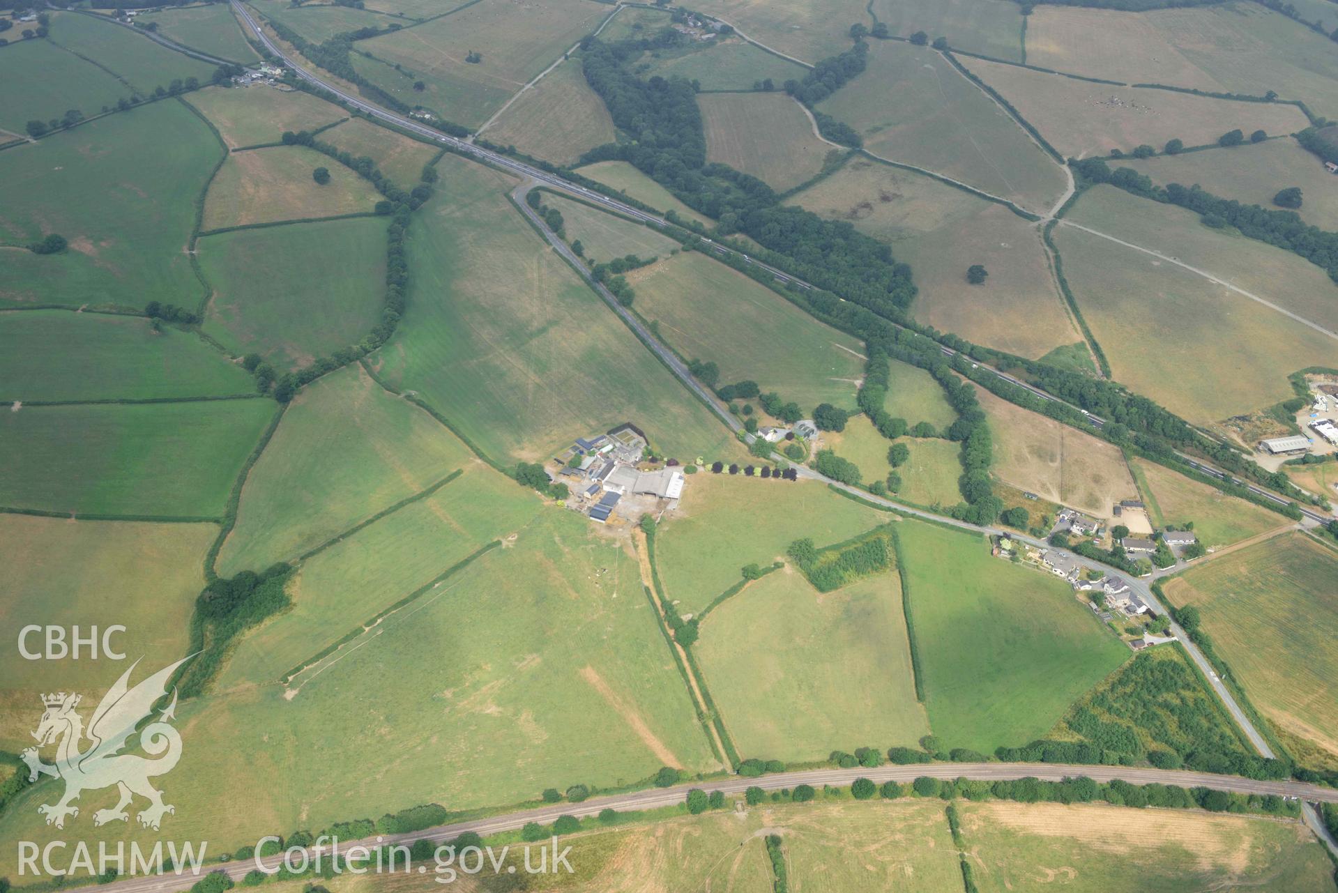
Aerial photography of Roman road, west of Carmarthan, section at Moor Aerial reconnaissance survey for the CHERISH Project. Crown Copyright: CHERISH PROJECT 2018. Produced with EU funds through the Ireland Wales Co-operation Programme 2014-2020. All material made freely available through the Open Government Licence.
 Opsiynau lawrlwytho a prynu