Disgrifiad
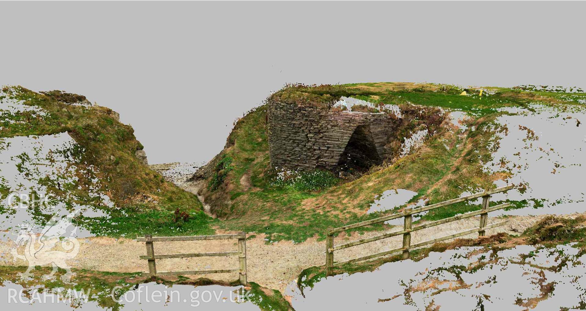
View of limekiln looking towards the coast (River Teifi estuary), showing the coastal path in the foreground. Part of a Terrestrial Laser Scanning Survey archive for Craig-y-Gwbert limekiln, carried out by Dr Jayne Kamintzis of RCAHMW on 20 September 2022.