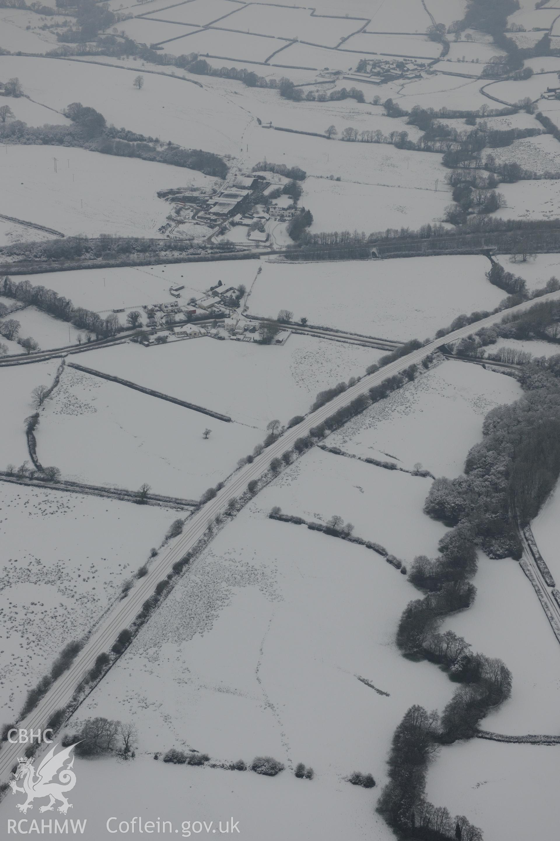
Moor Farm field system, west of St. Clears. Oblique aerial photograph taken during the Royal Commission?s programme of archaeological aerial reconnaissance by Toby Driver on 24th January 2013.
Cofnod Casglu
AP - RCAHMW Colour Oblique Digital Aerial Photographs