English
Beta
Hygyrchedd
Hafan
Amdanom
Chwilio
Orielau
Map
Cymorth
Cysylltwch
Cofnod Archif
Canlyniadau
Safle Chwilio Uwch
Nid oes gennych resi chwilio datblygedig. Ychwanegwch un trwy glicio ar y botwm '+ Ychwanegu Rhes'
+ Ychwanegu Rhes
Chwilio
Ail Gychwyn
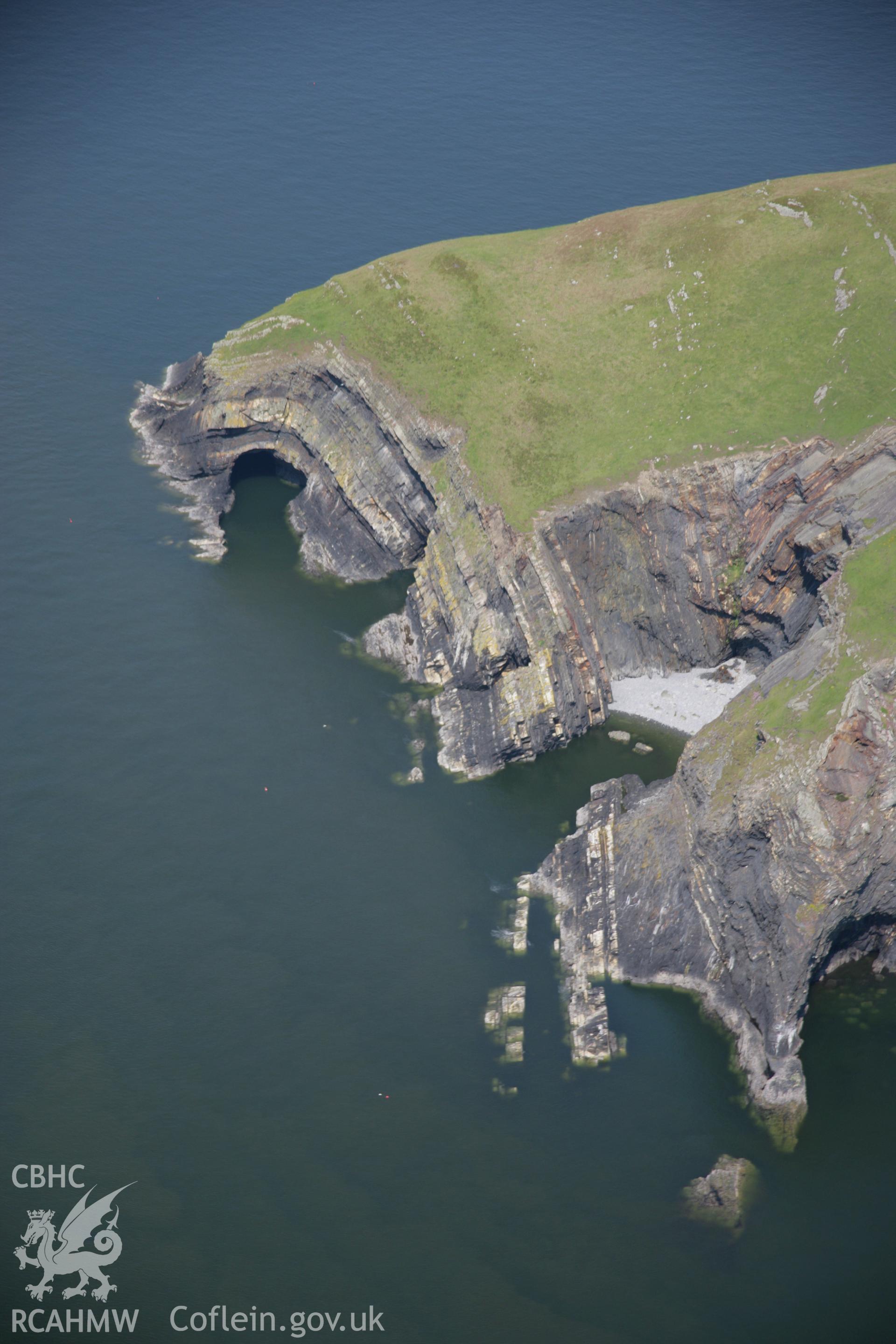
Pembrokeshire Coast Path Between Ceibwr Bay and Foel Hendre
AP - RCAHMW Colour Oblique Digital Aerial Photographs
AP_2006_1095 - RCAHMW Colour Oblique Digital Aerial Photographs
Further Information
Manylion
Hierarchaeth
Safleoedd Cysylltiedig
NPRN
Teitl
Math O Safle
Casgliadau
Delweddau
NPRN
408888
Teitl
Pembrokeshire Coast Path Between Ceibwr Bay and Foel Hendre
Math O Safle
LLWYR TROED
Casgliadau
6
Delweddau
5