English
Beta
Hygyrchedd
Hafan
Amdanom
Chwilio
Orielau
Map
Cymorth
Cysylltwch
Cofnod Archif
Canlyniadau
Safle Chwilio Uwch
Nid oes gennych resi chwilio datblygedig. Ychwanegwch un trwy glicio ar y botwm '+ Ychwanegu Rhes'
+ Ychwanegu Rhes
Chwilio
Ail Gychwyn
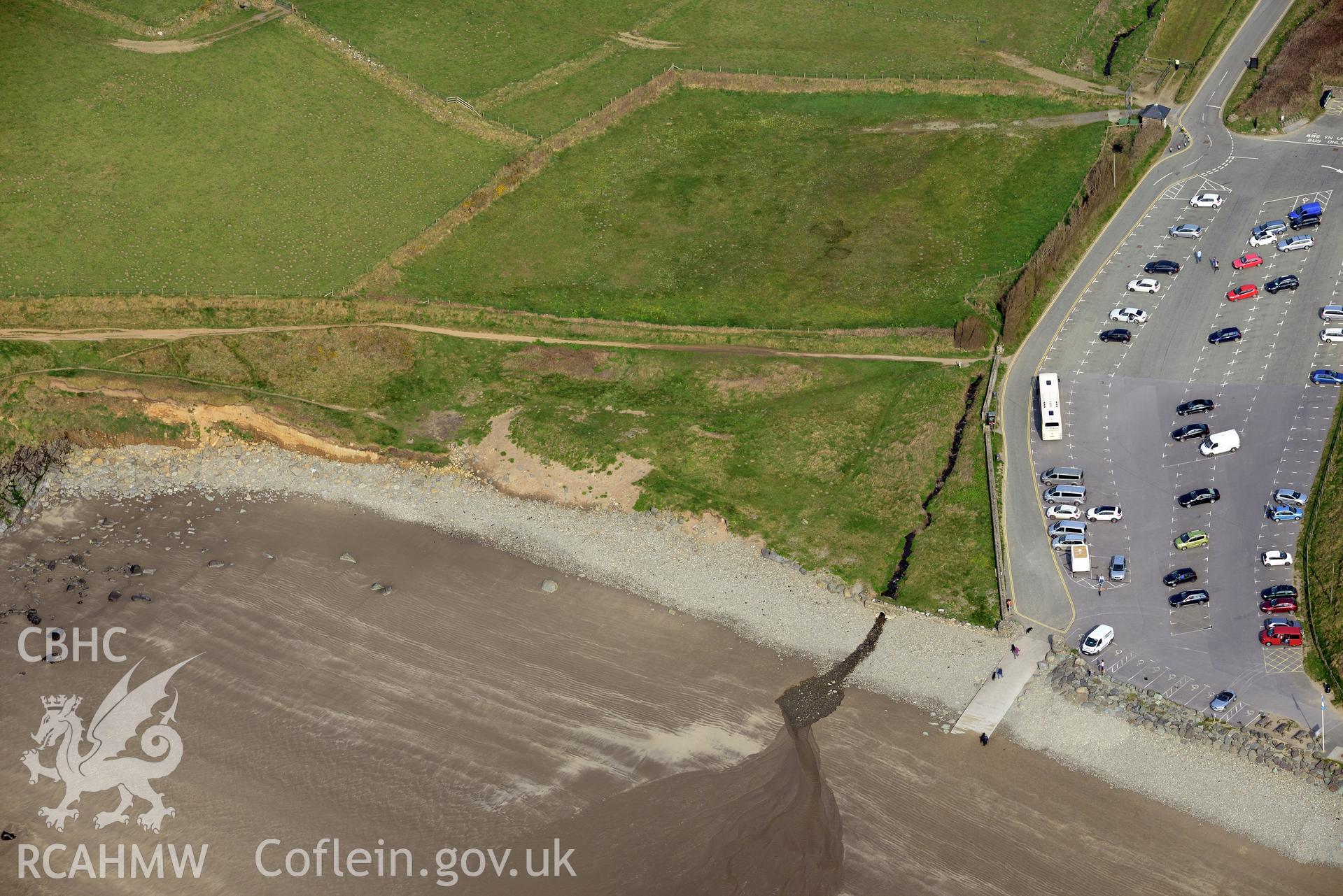
Whitesands Bay;Porth-Mawr
CHR - CHERISH Project Archive
CH2019_043 - CHERISH Project Archive
CH2019_043_004 - CHERISH Project Archive
Further Information
Manylion
Hierarchaeth
Safleoedd Cysylltiedig
NPRN
Teitl
Math O Safle
Casgliadau
Delweddau
NPRN
405266
Teitl
Whitesands Bay;Porth-Mawr
Math O Safle
PWYNT GLANIO
Casgliadau
41
Delweddau
21
NPRN
305394
Teitl
St Patrick's Chapel, Whitesands Bay
Math O Safle
CAPEL
Casgliadau
59
Delweddau
38
NPRN
524782
Teitl
Submerged Forest, Whitesands Bay
Math O Safle
COEDWIG FODDEDIG
Casgliadau
14
Delweddau
12
NPRN
697
Teitl
Whitesands Bay
Math O Safle
NODWEDD NATURIOL
Casgliadau
12
Delweddau
8