English
Beta
Hygyrchedd
Hafan
Amdanom
Chwilio
Orielau
Map
Cymorth
Cysylltwch
Cofnod Archif
Canlyniadau
Safle Chwilio Uwch
Nid oes gennych resi chwilio datblygedig. Ychwanegwch un trwy glicio ar y botwm '+ Ychwanegu Rhes'
+ Ychwanegu Rhes
Chwilio
Ail Gychwyn
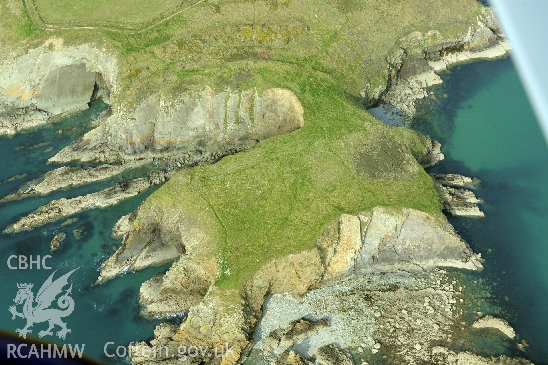
Caerfai Promontory Fort
CHR - CHERISH Project Archive
CH2019_044 - CHERISH Project Archive
CH2019_044_003 - CHERISH Project Archive
Further Information
Manylion
Hierarchaeth
Safleoedd Cysylltiedig
NPRN
Teitl
Math O Safle
Casgliadau
Delweddau
NPRN
305396
Teitl
Caerfai Promontory Fort
Math O Safle
CAER BENTIR
Casgliadau
160
Delweddau
123