Disgrifiad
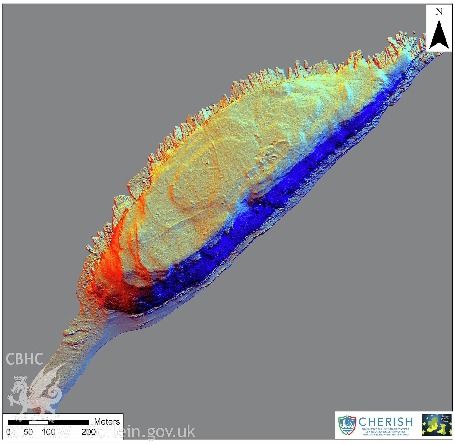
Ynys Seiriol (Puffin Island). Airborne laser scanning (LiDAR) commissioned by the CHERISH Project 2017-2021, flown by Bluesky International LTD at low tide on 24th February 2017. Digital Terrain Model (DTM) showing whole of the island with multi hill shading.
Cofnod Casglu
CHR - CHERISH Project Archive
Cychwynnwr
Bluesky International Ltd, RCAHMW